Travelling Across the Nullarbor
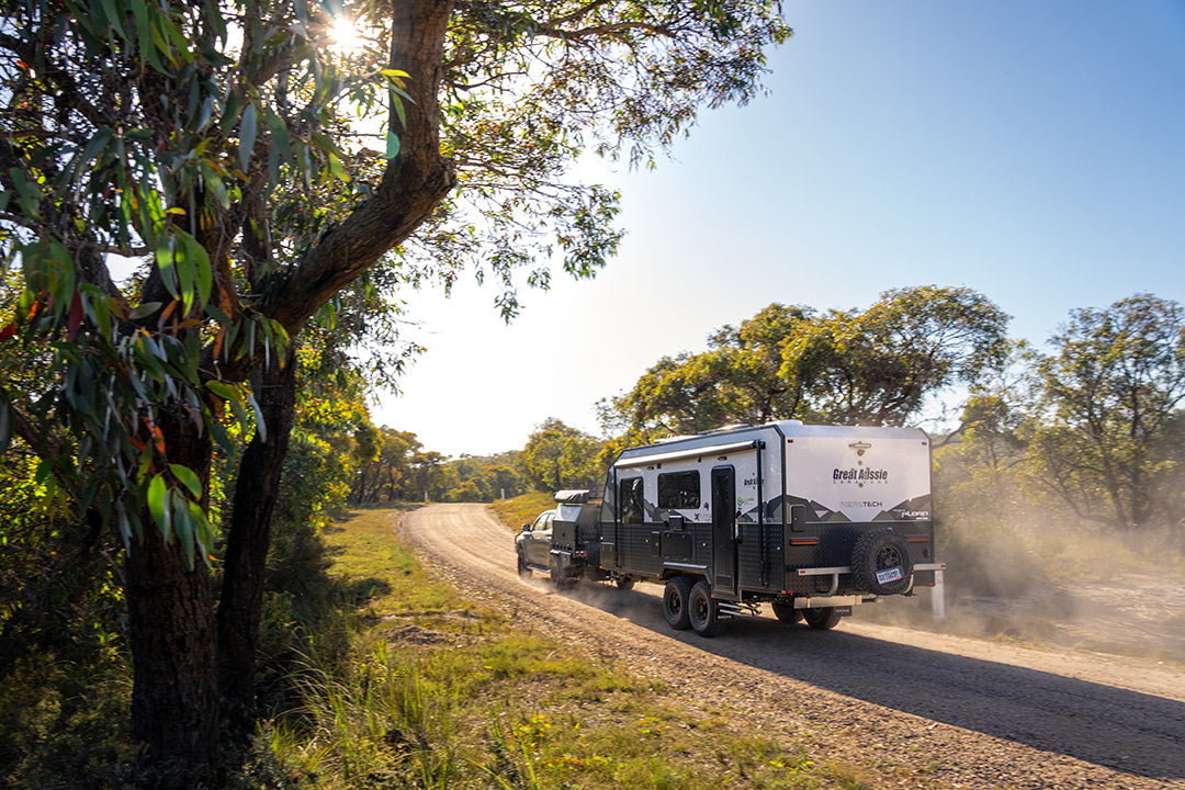
Travelling between Australia's East and West Coasts isn't a journey taken lightly. It's a long way. Much of the trip is remote, and the weather can be harsh. Sydney to Perth is close to 4000km, and the Nullarbor Plain sits pretty much bang in the middle of the trip. The Plain is 1100km at its widest, but the section between the towns of Ceduna in South Australia and Norseman in Western Australia is often eulogised as the actual Nullarbor crossing.
The Nullarbor abuts the Great Victoria Desert and spans more than 200,000 square kilometres, stretching across the border area of South and Western Australia. It’s classified as an immature arid limestone karst landscape formed when the area was the sea floor millions of years ago. Karst is a distinctive topography shaped by the weathering of the carbonate bedrock – in this case limestone. Within the limestone surface are numerous caves and sinkholes, some with underground lakes many kilometres long.
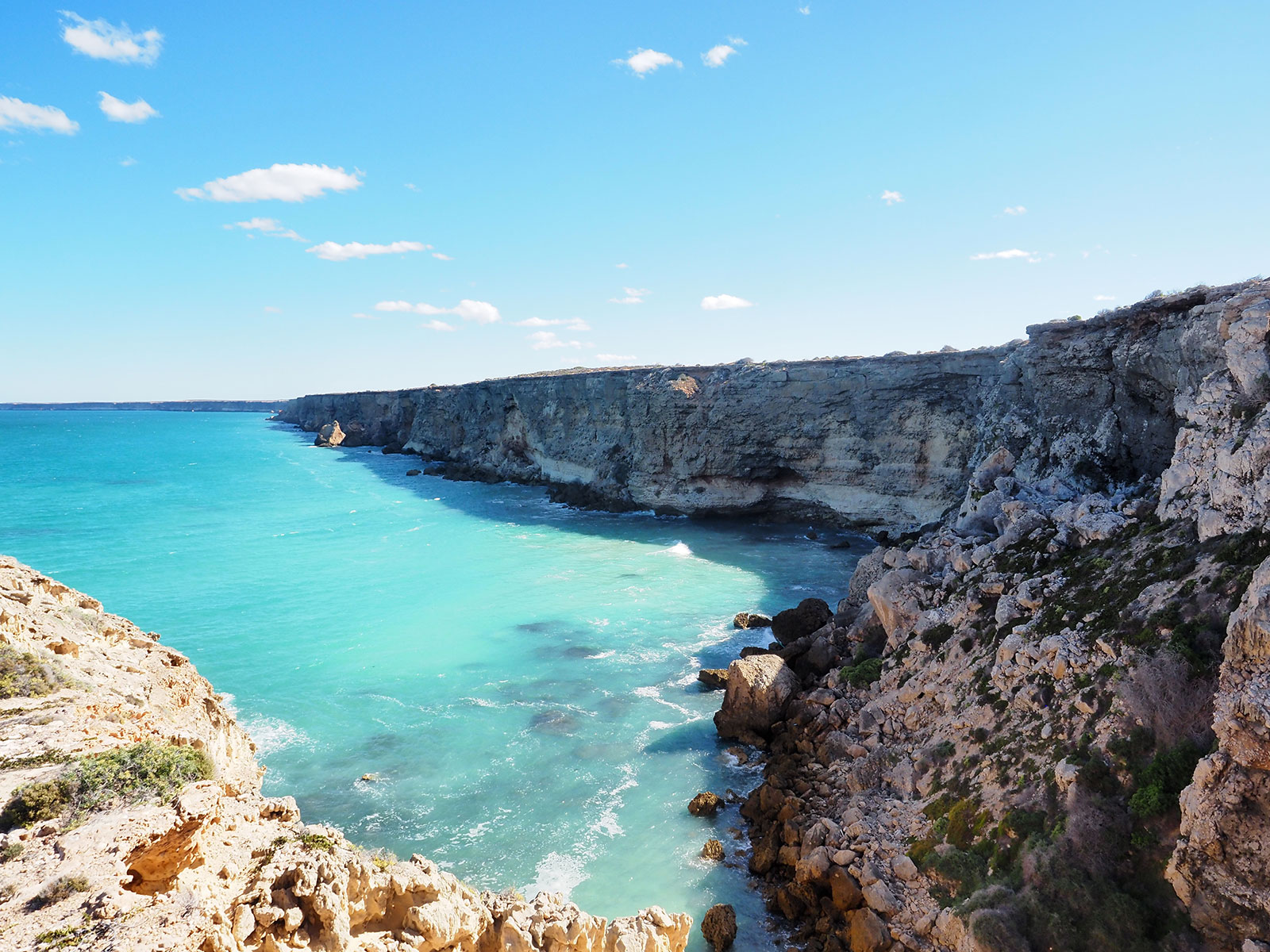
A series of uplifts and rising sea levels formed the spectacular Bunda Cliffs along the southern edge of the Plain. The cliffs are the longest in the world and rise to heights over 80m. Their ever-changing hues and breathtaking views are a highlight of a Nullarbor crossing.
The drive along the Eyre Highway takes you through vast, open and arid landscapes with few trees or other obstacles to obstruct your sight of the horizon. You will discover an expanse of flat, red earth that seem to stretch on forever, with the occasional hill or rocky outcrop breaking up the monotony of the terrain. One section of road between Balladonia and Caiguna gets its own 90-mile signpost and, at 146.6km long, is one of the longest straight roads in the world.
As a major transport route, the road is well maintained for a generally smooth and comfortable journey while still offering the chance to experience the raw and rugged beauty of the Australian outback if you take the time to look around. The road is well-signposted, with numerous stops for a break. So, stretch your legs and enjoy the serenity.
A rich history
Before we set out, a bit of history might set the scene.
The local Anangu People have lived in these harsh lands for millennia. Flint tools found in Allan's Cave have been dated back 36,000 years, making them the oldest uncovered in arid Australia. But the coming of European settlement brought disruption to the aboriginal culture. When the rail line was pushed through in 1912, the permanent water point at Ooldea was sucked dry in a matter of a year or so, destroying the feasibility of the ancient trading point. More displacement occurred when the British Government tested nuclear weapons at Maralinga. Most locals were rounded up and moved to Yalata, but many perished or were blinded in the blast. These days, much of the eastern section of the coast is Aboriginal land, including the whale-watching complex at the Head of the Bight.
Dutch navigators Captain François Thijssen and team leader Pieter Nuyts on Gulden Zeepaert (Golden Seahorse) mapped the Great Australian Bight in 1627, but the placenames he bestowed are long forgotten apart from a couple of locations in Western Australia. Matthew Flinders followed by sea in 1802. However, it wasn't until 1841 that Europeans crossed the treeless plain when Edward John Eyre and his companion Wylie made it from Fowlers Bay to Albany in his second attempt.
Fowlers Bay
The East-West Telegraph line was completed in 1877, and the first car traversed the continent east to west when Francis Birtles drove his Brush Runabout into history. Mind you, he had already completed the marathon by bicycle, so he knew what he was in for.
In 1867, the South Australian Government commissioned Edmund Delisser to stake out the western portion of the state, and he named the Nullarbor on his walk to Eucla, following aboriginal pathways.
The army's construction of the Eyre Highway in the 1940s opened the region to more widespread settlement and tourism. An article in the Sydney Mail in July 1954 told of Jack Murray "speeding across the Nullarbor in the round-Australia Redex Trial in a procession of wrecks”. A new road south of the original track was sealed in 1976 to form the main transport link between east and west. You can follow the old route, but it isn't maintained and is rough for most of its length. Something to consider in these times of inflated diesel prices is that the prevailing weather is from the west, so heading there in strong winds will knock fuel economy around.
Ceduna by the sea
We start our crossing from east to west, so apologies to our WA readers: by the time you reach Ceduna, you have made it back to civilisation and a well-earned break in this bustling and charming seaside town with a deep seaport and long jetty. If you travel from the east, you will already have covered many miles. Ceduna is more than 2000km from Sydney and 470km from the last major centre at Port Augusta. The area takes its name from the indigenous word 'Tjutjuna', meaning sit down and rest, and that's what we did for a few days. The town and its adjacent village of Thevenard ‘sits and rests’ on the shore of Murat Bay, which draws in thousands of visitors during the fishing season, especially for King George whiting and squid. You can hire boats to get on the water if you have a licence. Otherwise, the wharf in town and nearby Denial Bay are popular spots.
Five caravan parks serve the area, and there are supermarkets and good shopping for camping and fishing gear. Take advantage of the Aboriginal Arts Centre, representing artists across the south-west. For a bit of fun and to help break up the journey, a well-spaced 18-hole golf course begins in Ceduna and spans the Nullarbor to finish up in Kalgoorlie.
Harvesting the wind
Penong is a 71km drive through the last of the agricultural lands on your journey west. Windmills have provided water to the town since 1868 and became such a feature on the landscape that a museum was established. The collection now numbers more than 20 working displays, including Bruce, the largest in Australia.
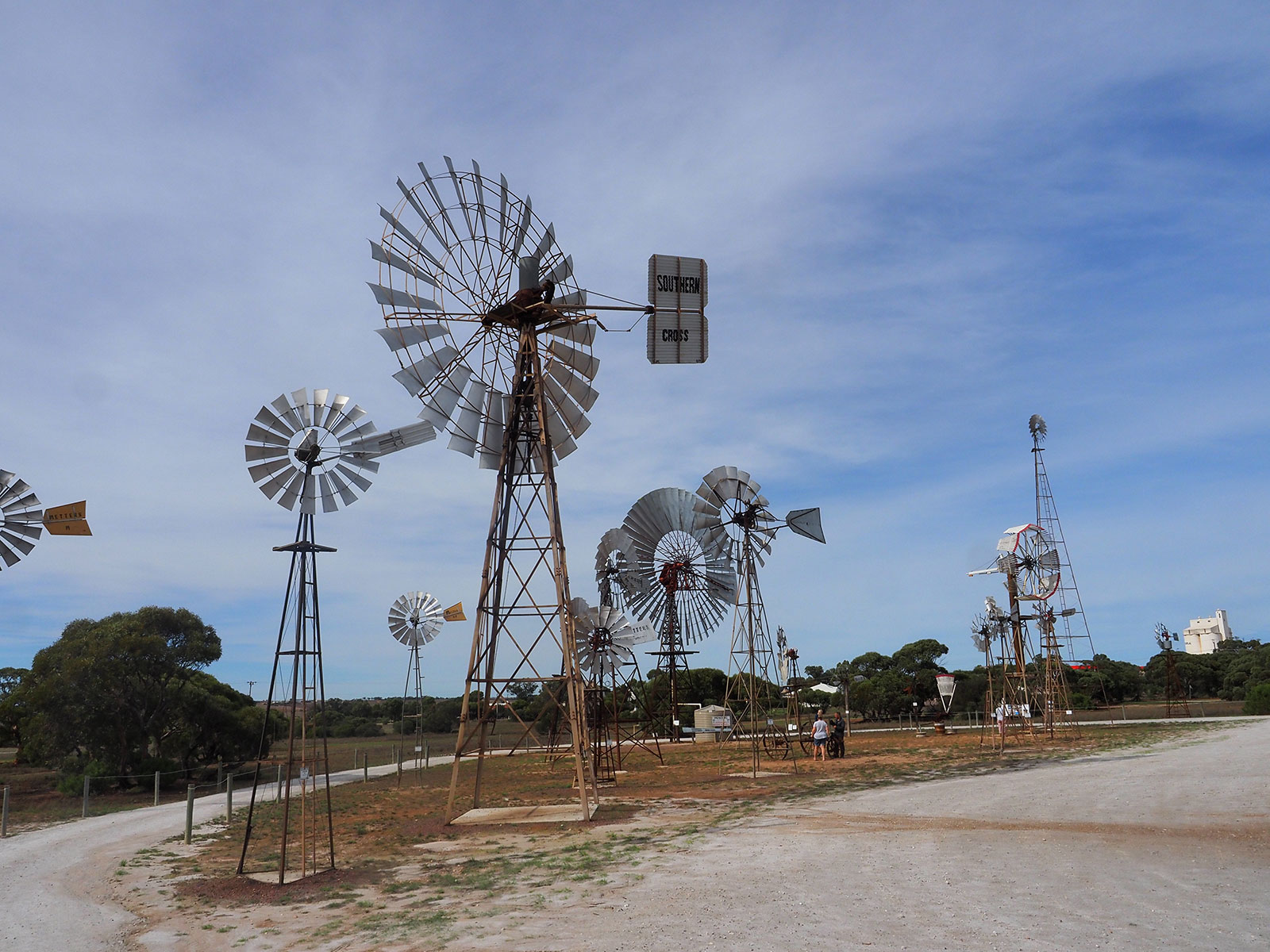
Penong windmills
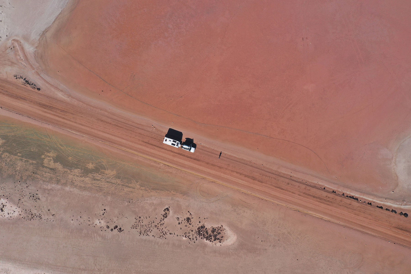
A 21km detour here leads south to the famous surfing and camping location on private land at Cactus on Point Sinclair. Along the 21km drive, you pass across a causeway at Lake MacDonnell and, depending on the season, it can be a striking pink colour, well worth a photo. Nearby Port Le Hunte is a sheltered cove with amenities, a 200m-long wharf, and a shark net enclosure.
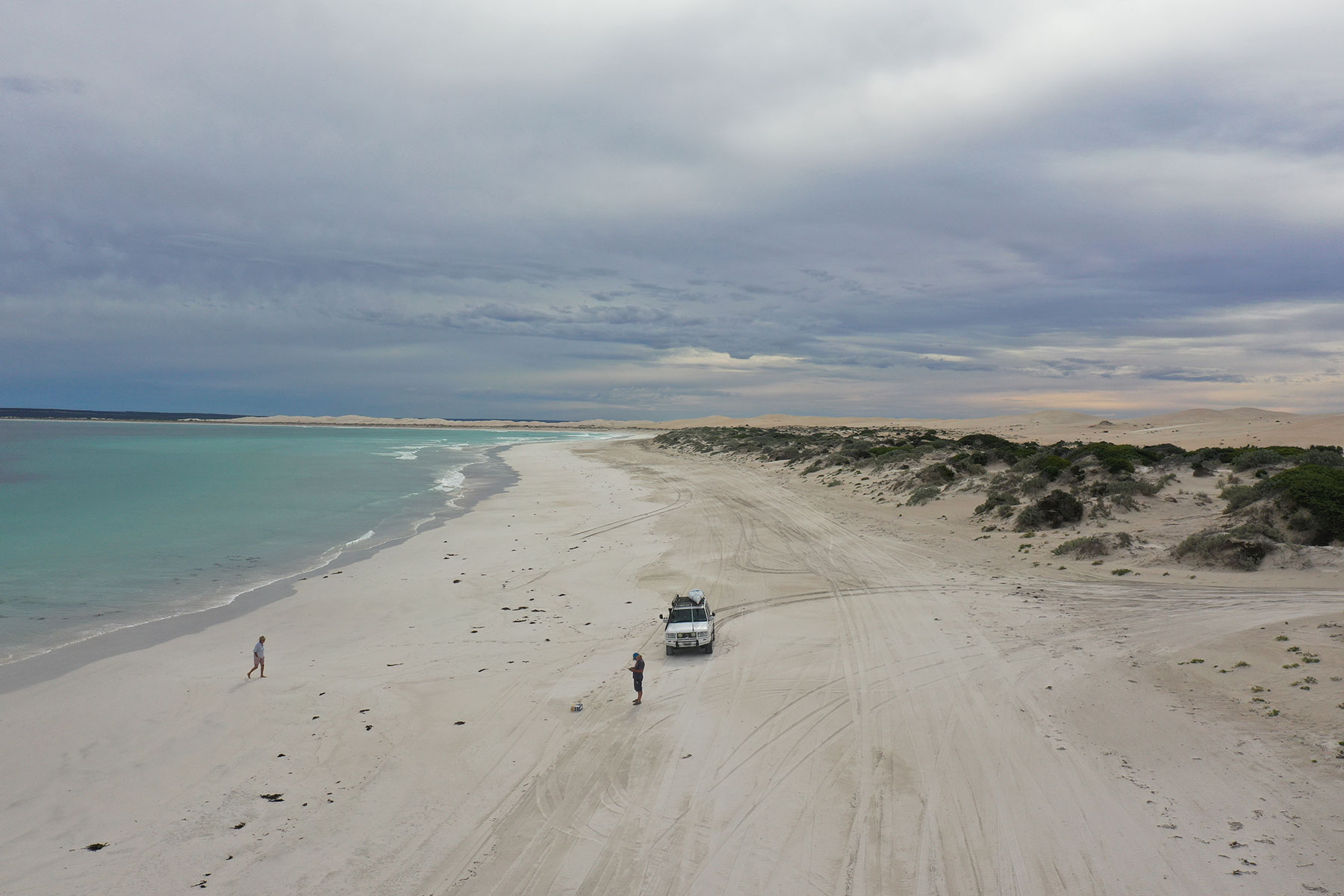
Fowlers Bay is also a detour but worth the drive for the expanse of sandhill driving, beach fishing and the town wharf where squid are said to be caught by the bucket full. However, we caught one squid while a local woman hauled them in hand over fist. We ended up staying in the caravan park for a few days, and while we weren’t crowded out, in the salmon season, the place really buzzes.
Aboriginal Land
The country around Yalata and towards Nullarbor Roadhouse is aboriginal land. Until 2006 there was a roadhouse as part of the Yalata community, but it has been demolished due to its asbestos construction. Some sites mention a caravan park here, but it is currently closed.
However, there is camping in the sandhills down on the Head of the Bight, where the serenity and fishing would be sensational. You must book in advance, alcohol is prohibited, and it’s not caravan friendly. Organise to leave the van at Penong and book online.
Head of the Bight
The Yalata community’s whale-watching facility at the Head of the Bight isn't to be missed, especially in whale breeding season between May and October when as many as 120 right whales congregate at the foot of the cliffs.
A boardwalk takes you down along the starting point of the Bunda Cliffs, which stretch for 210km westward, while to the east a massive expanse of sand hills glisten under the bright sunshine. Entry fees apply, and there's a free camp just at the park entrance, which is well off the road for a quiet night.
The Nullarbor Roadhouse makes a welcome break for fuel, hot food and souvenirs. There's a caravan park and motel rooms if you want to stay for a drink. It gets hot here. On a crossing in the 1990s, the locals reckoned it was 48 degrees, and it felt like it. Take the road north to the Murrawijinie Caves. There are three caves, and the road is usually well-maintained. Buy some fuel at the roadhouse, and they will give you directions. When we passed through a powered site was $30.
A detour into the past
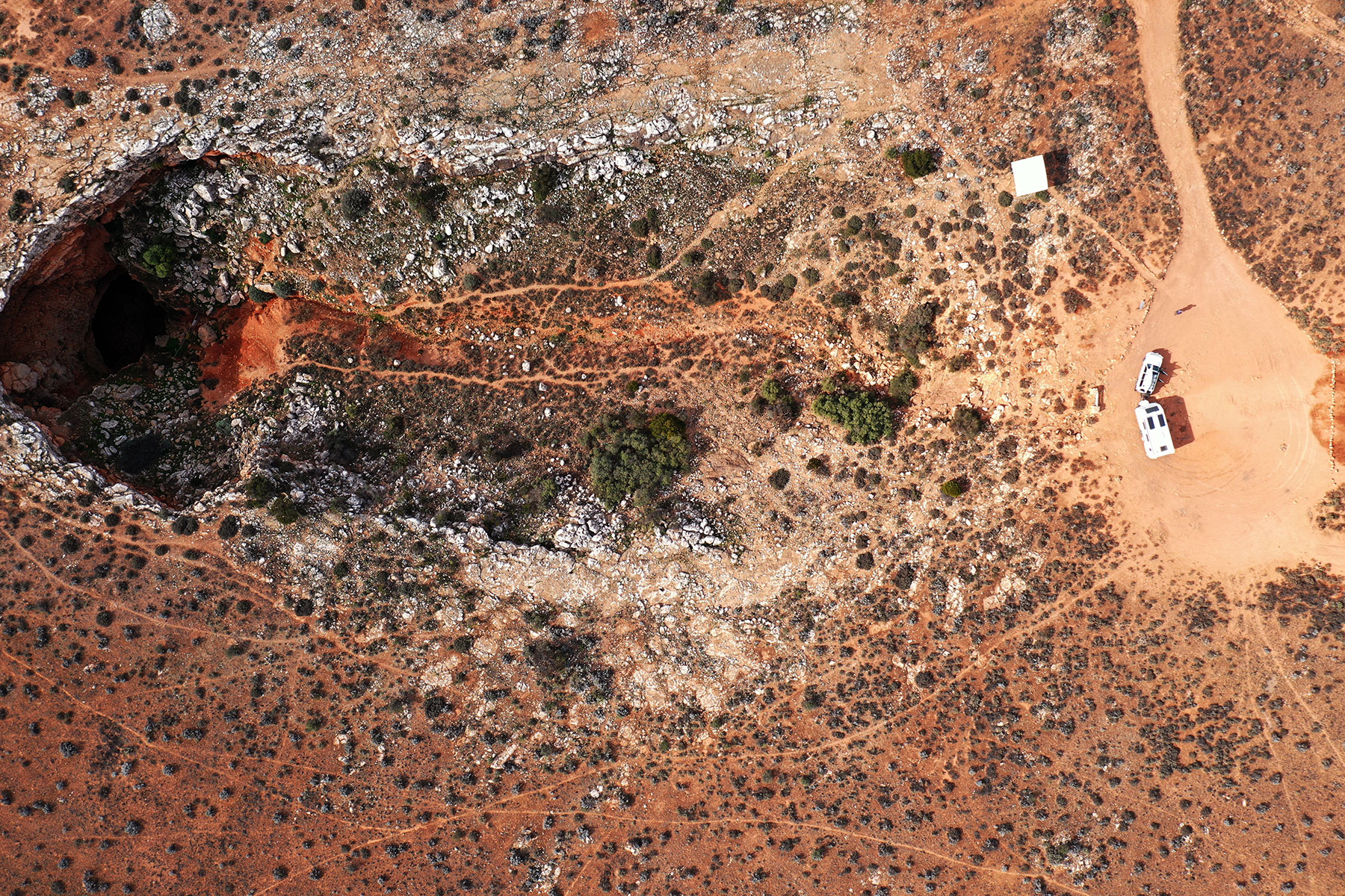
Between the roadhouse and the border, you will find a track on Hema Maps to the old Koonalda homestead and service station, which serviced the original highway. The 10km dirt track is well maintained, and the visit is a step back in time to a graveyard of old cars and the historic remains of buildings like the ancient timber woolshed and shearer's quarters. A small cave is a few kilometres further north, so spare some time to explore.
When you get to the WA border, it’s tempting to think the trip is behind you, but there is still 700km to go. It seems longer because the road can be bouncy, and there are fewer distractions. On the bright side, roadhouses greet you every couple of hundred kilometres, so coffee (well, sort of) and fuel are plentiful.
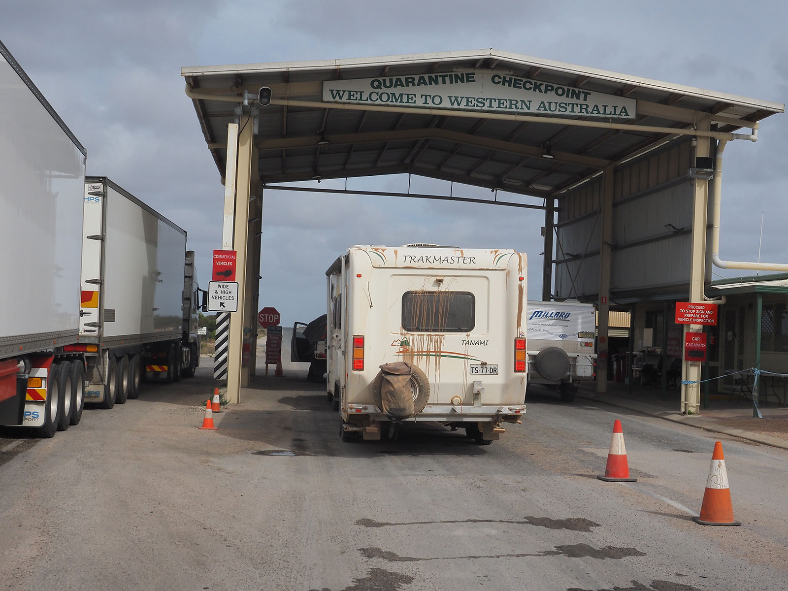
Quarantine station at SA-WA border
A quarantine station at the border will relieve westward travellers of fresh fruit or veggies, and the staff are thorough, with a particular quest for honey. Eucla is pretty close, and the detour to the old telegraph station is interesting. The manager's residence is the only remaining building, as the rest has been covered in shifting sand. I’m told some material went into the original roadhouse. Unhook the van and head to the ocean, where the remains of a wharf are being pounded into oblivion, so it's easy to see that a lot of our history is disappearing before our eyes. Near the border, the Bunda cliff line heads inland along the Wylie Scarp (remember him? Eyre's companion) and the Hampton Scarp before forming the Baxter Cliffs further to the west. You follow along under the scarp for miles, feeling like you are driving under an imaginary ocean.

Eucla
The roadhouses all have their own character and points of interest. Mundrabilla has the jump up at Eucla Pass and is home to Australia's largest known meteorite. Madura has exceptional views from the top of the hill, where a great campsite has loads of room. At Cocklebiddy, we found the track to the deep cave, but it was rough-as, and we started to wonder if it was worthwhile. Other paths lead to the coast and the Eyre Bird Observatory. Caiguna has a blowhole near the highway and one of the world’s longest straight roads, while Balladonia boasts a piece of Skylab, which crashed nearby in 1979.
Cocklebiddy Cave
Norseman sits in the Great Western Woodland at the western end of the Nullarbor. It’s a small town with cafes, garages and a modern information centre with loads of advice for eastbound travellers. Drive up to the lookout on Beacon Hill, check out the camel sculptures at the roundabout, let the kids loose in the skatepark, share a counter tea at the historic Norseman Hotel, and your Nullarbor crossing is complete.
There's something iconic about this remote part of Australia. A crossing is unique, and there's enough to explore to make the return trip just as much fun.
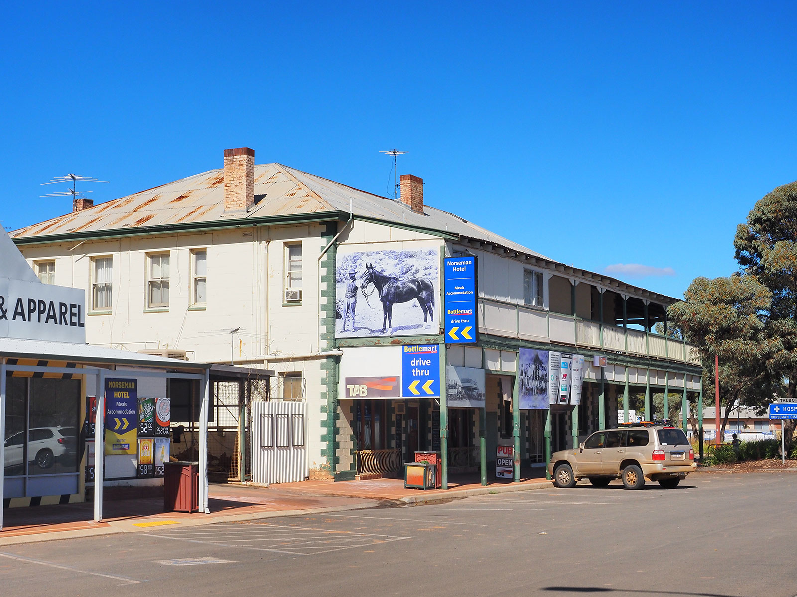
Norseman Hotel
Useful contacts:
Ceduna Visitor Information Centre
P: 08 8625 3343
P: 08 8625 6201
E: whalewatching@headofbight.com.au
P: 08 9039 3465
P: 08 8625 6271
E: admin@nullarborroadhouse.com.au
Woodlands Cultural, Community and Visitor Centre (Norseman)
P: 08 9039 0040
E: tourism@dundas.wa.gov.au
Yalata Lands community entry permits