Journey to the past in Maryborough, Queensland
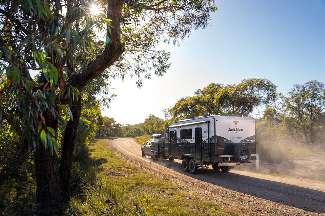
Maryborough’s location just off the Bruce Highway, 255km north of Brisbane, is a good and a bad thing for the city. It's a good thing because that makes it easily accessible from major population centres in southeast Queensland. The bad side is because travellers might be tempted to keep travelling on the highway to wherever they’re going, north or south, and not divert to the heart of Maryborough to explore its many beautiful heritage attractions.
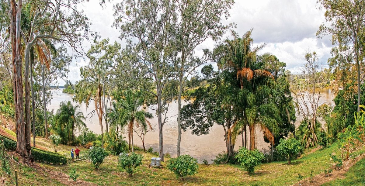
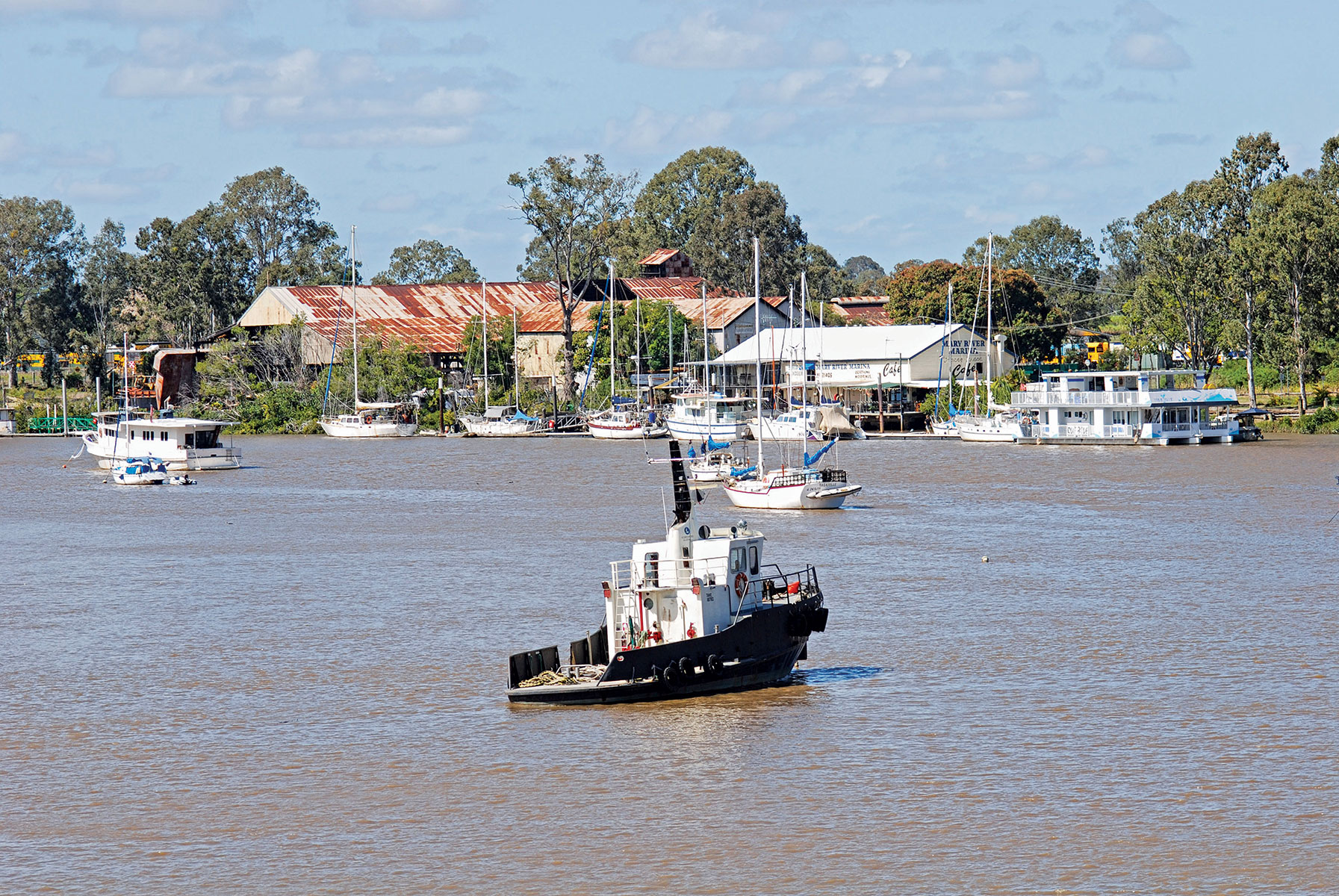
Maryborough was established on the banks of the Mary River and the city owes much of its character and rich history to that stately waterway. Aboriginal tribes who lived in the region called the river Moonaboola. Andrew Petrie was the first European to see it when he explored the area in 1842 in search of grazing country. He named it the Wide Bay River for the bay south of K’gari (Fraser Island) located across from the river’s mouth on the Great Sandy Strait. Its official name was changed in 1847 to Mary River in honour of Lady Mary Lennox, wife of Sir Charles Fitzroy, then Governor of New South Wales.
Surveyor JC Burnett sailed up the river in 1847 and his favourable report on the countryside encouraged settlement by land-hungry pastoralists. George Furber and his wife were the first European settlers, establishing a wool store, wharf and trading post on the south bank of the river. They were followed a year later, in 1848, by ET Aldridge and the Palmer brothers, who built a wharf, store and inn on the north river bank. The ketch Aurora became a regular trader at the new river settlements, bringing loggers, axemen and carters with their bullock teams to reap timber from the surrounding forests and clear land for farming and grazing.
In 1848, John Bidwell, the newly appointed Commissioner of Lands, arrived with news that the fledgling Wide Bay Village was henceforth to be known as Maryborough. He then set about administering an orderly survey of the district and initiated a settlement on higher ground to the east of the ‘Old Township’ at a place where the river was deep and accessible by large vessels. The original settlers were initially reluctant to abandon their homes and businesses, which had up to that time been adequately served by small boats able to navigate the shallow parts of the river to the trading posts. However, the killing of Furber and his son-in-law by Aboriginal people in 1855 shocked the European community and proved a strong incentive for it to move closer to the police compound at the new settlement. Within a year, Aldridge and the Palmers soon transferred their businesses there and the township developed rapidly as other enterprises grew around them.
History in the making
In 1859, Queensland separated from the Colony of New South Wales and Maryborough was declared a port of entry, meaning that it was directly accessible by overseas and inter-colonial vessels. Robert Bingham Sheridan arrived to be Chief Officer of Customs, Water Police Magistrate, Immigration Agent, Harbour Master and (later) Polynesian Inspector, quickly establishing himself as the most important official in the township. Projects completed during his tenure (up to 1883) included the erection of two lighthouses on Big Woody Island in the Great Sandy Strait, the charting and installation of beacons in Hervey’s Bay (as it was then known), the building of a quarantine station near the White Cliffs on K’gari (Fraser Island) and the Sandy Cape Lighthouse on the island’s northern tip.
In addition to all of that, he was kept pretty busy logging exports and imports. In 1860, these totalled £107,000 (one-fifth of the new Colony’s total) and £71,500 respectively. Over the next ten years, gold drove the value of exports up to more than £756,000.
With Maryborough firmly established as the only port in the Colony with a favourable balance of trade, the Wide Bay and Burnett business community pushed for it to be the capital of the Colony, but Brisbane won out with a wider, deeper river at a location closer to Sydney. Nevertheless, Maryborough’s prosperity attracted immigrants directly to the town, with the first emigrant ship, Ariadne, arriving in 1862 with 260 people. By the time direct migration was abandoned in 1900, nearly 21,000 emigrants had landed at the port of Maryborough, making it Australia’s second busiest immigration port after Sydney.
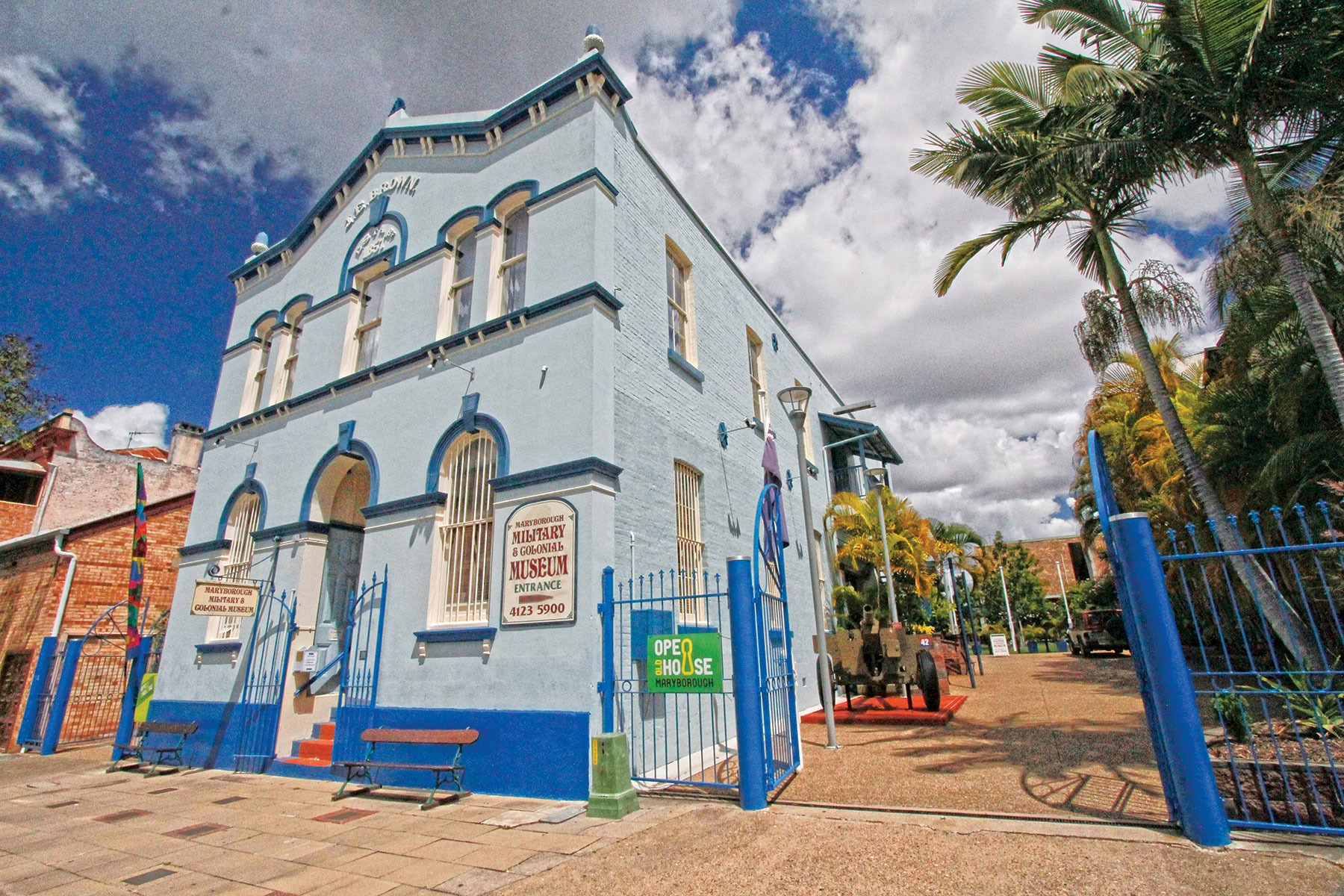 The JE Brown Warehouse, circa 1879, is now a military museum
The golden years
In 1867, the discovery of gold at Gympie, 80km to the south, boosted Maryborough’s fortunes dramatically. Thousands of miners and tonnes of supplies for the goldfield streamed through the port; bullock and horse teams hauled goods between the two centres; storekeepers prospered and a host of inns sprang up along the road. In the first two months after the rush began, Gympie’s population soared to 16,000 and gold to the value of £11,075 was lodged in Maryborough’s banks awaiting shipment south.
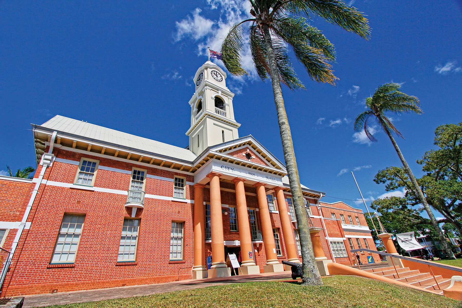 The Maryborough City Hall built in 1908
At about the time that the alluvial gold ran out and mining focussed on the extensive underground reefs, J Walker & Co established a foundry and engineering works to supply mining equipment to Gympie and other parts of the colony. The agricultural sector also underwent a major transformation with local farmers abandoning cotton for sugar cane production. While raw sugar could be made at local mills, the cost of doing so using white labour was high and plantation owners began bringing Pacific and South Sea Islanders to work on the farms. Between 1867 and 1903, a fleet of locally owned vessels brought more than 12,000 island labourers to Maryborough, augmenting the thousands of immigrants from Europe, especially Britain, Scandinavia and Germany, engaged in the town’s other enterprises.
Local industry continued to flourish during the 1870s and 80s with iron founders manufacturing steam locomotives, rolling stock and equipment to service the timber and sugar mills, as well as steamships that plied the eastern seaboard from north Queensland to Sydney. The railway line to Gympie was completed in 1881 and extended to Bundaberg (1888) and major inland towns in central Queensland during the 1890s.
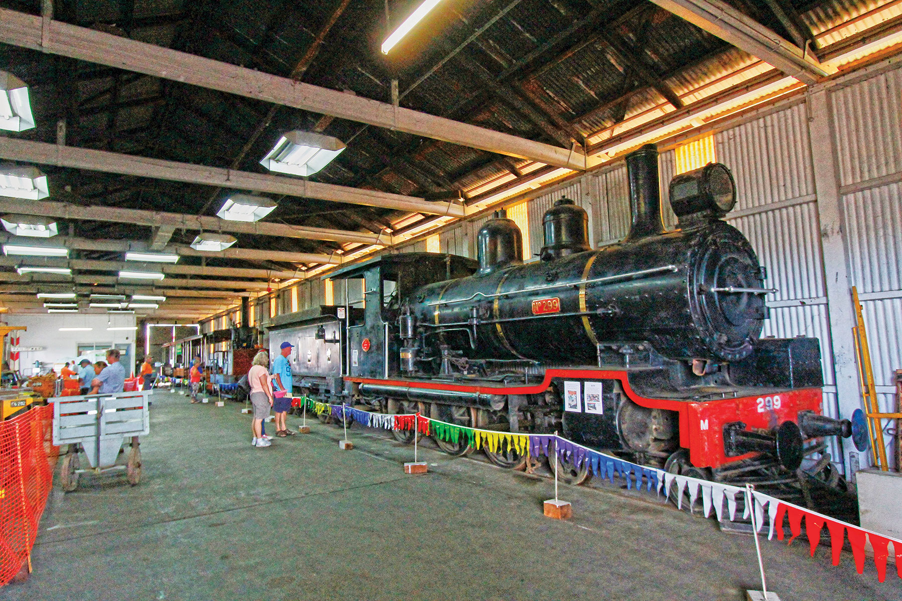 A vintage steam locomotive (1897)
Within the town, economic prosperity fostered improvements in infrastructure and a host of civic building works. Wharves, slipways and bridges were developed, the Queens Park Reserve was laid out with ornamental trees, fine new churches and schools appeared, a town hall and the Maryborough School of Arts were built, a clock tower was added to the post office, and the Court House and Customs House were erected in the portside precinct. As the townsfolk prospered in their commerce, some of them built grand homes on spacious estates, like Doon Villa, Dalhousie House, Eskdale Park, Stirling and the finest of them all, Baddow House.
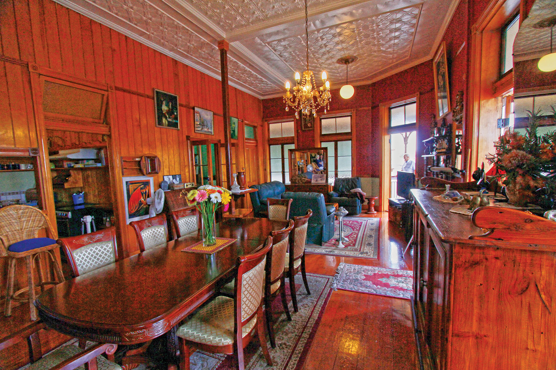 The upstairs grandeur at the Francis Hotel
Some take it as a measure of the city’s prosperity during its ‘golden age’ that it boasted more than 40 hotels, of which nearly half still exist (though not all as licensed premises) and some are heritage listed, including The Criterion, Post Office, Customs House, Engineers’ Arms, Francis, Federal and Royal. On the other side of the moral ledger, Maryborough has at various times in its history accommodated 19 religious denominations and their numerous churches, two of which are heritage listed — St Paul’s Anglican Church (and Hall) and St Mary’s Church, a Roman Catholic church.
Unfortunate setbacks
However, Maryborough’s fortunes suffered a series of setbacks during the 1890s, both natural and man-made. The Mary River flooded several times (the worst in 1893), devastating crops and plantations, damaging mills and refineries, sweeping away bridges and rail lines, and obliterating hundreds of homes occupied by workers. The colony as a whole was racked by depression, workers’ strikes and riots, banking crises, money shortages and political dissension by northern separatists.
Physical and economic recovery was slow and, soon after it was proclaimed a city in 1905, the 20th century brought a new set of challenges for Maryborough: Pacific and South Sea Islander labour was proscribed by Federal law and the islanders repatriated; large sugar plantations were broken up and many smaller holdings converted to dairy production; the agricultural sector state-wide was decimated by prolonged drought; an outbreak of pneumonic plague in the city claimed eight lives; World War I took a further toll in local volunteers who did not return; and the world-wide economic depression of the 1920s and 30s caused large-scale unemployment and the collapse of land values.
But Maryborough survived and re-affirmed its role as the pre-eminent administrative, commercial and industrial centre of the Wide Bay and South Burnett regions.
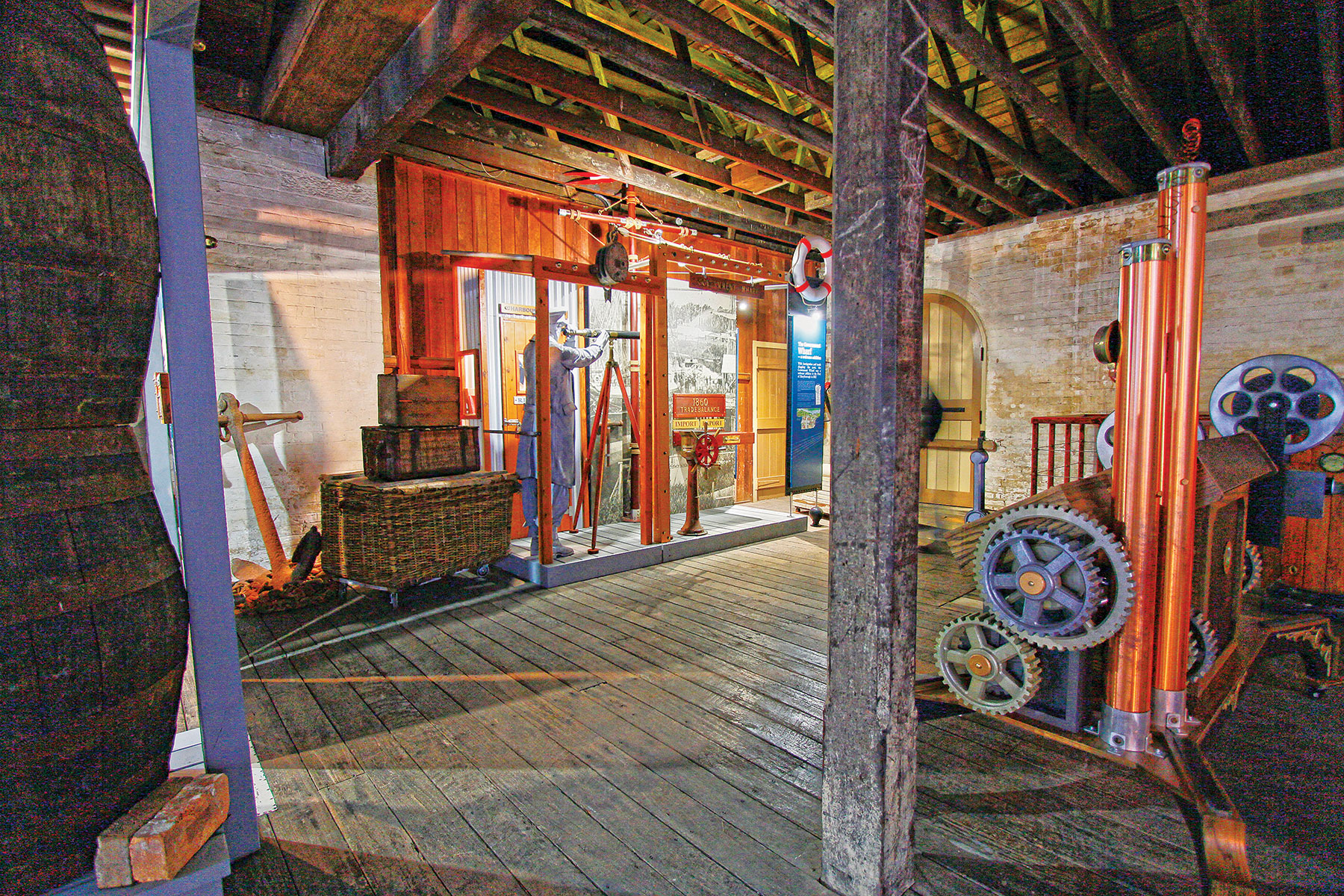 The Maryborough Bond Store Museum
On the outbreak of World War II, Maryborough’s men joined the armed forces, as their fathers had done, and fought in the Pacific theatre; its women served in the Australian Women’s Land Army, WRANS, AWAS and WAAF. The city itself took on industrial and logistical responsibilities in the war effort. J Walker & Co’s shipyards were re-activated and employed up to 1200 men in the manufacture of seven corvettes, including HMAS Maryborough and HMAS Rockhampton and three frigates. At the aerodrome, the RAAF established a station that was at different times a Wireless Air Gunners School and a Radar School, and the Royal Navy used it as a base for a unit of Corsairs from its Fleet Air Arm.
After the war, civilian life returned to normal and the city’s development entered a new era: power stations were established and began to electrify more than 45,000 square kilometres of rural area, television and radio stations were added to the city’s media outreach, its industries diversified, banks and retail chains opened new outlets to serve a growing population. But Maryborough’s manufacturing industry declined, as did its dairies and meatworks. Walkers’ shipbuilding facility closed in 1974, although the company’s railway division continued to build high-speed tilt trains for country rail services.
The winding back of some of the riverside industries released land for recreation and tourism. Wilson and Hart's sawmill at the end of Walker Street, just north of the Wharf Street precinct, was closed in the late 1980s, and was replaced by the Brolga Theatre in 2000.
In 2008 Maryborough City, Hervey Bay City, Woocoo Shire and part of Tiaro Shire were amalgamated to form Fraser Coast Regional Council, which administers a region of diverse landscapes covering more than 7100 square kilometres, including K’gari (Fraser Island), with a population exceeding 95,000.
Journey back through time
Modern-day Maryborough is the self-styled ‘Heritage City of Queensland’, a city of colourful charm with a fascinating history among the oldest of any in Queensland. Its proud heritage is reflected in the many unique buildings that grace its riverside streets and country estates. In 1981 the Australian Heritage Commission registered five buildings in Maryborough, and in the late 1980s an archaeological survey was made of the original settlement site at what is now West Maryborough. Since then, there has been a growing appreciation of Maryborough's heritage buildings, civic, commercial, religious and domestic, many of which have been listed on the Queensland Heritage Register.
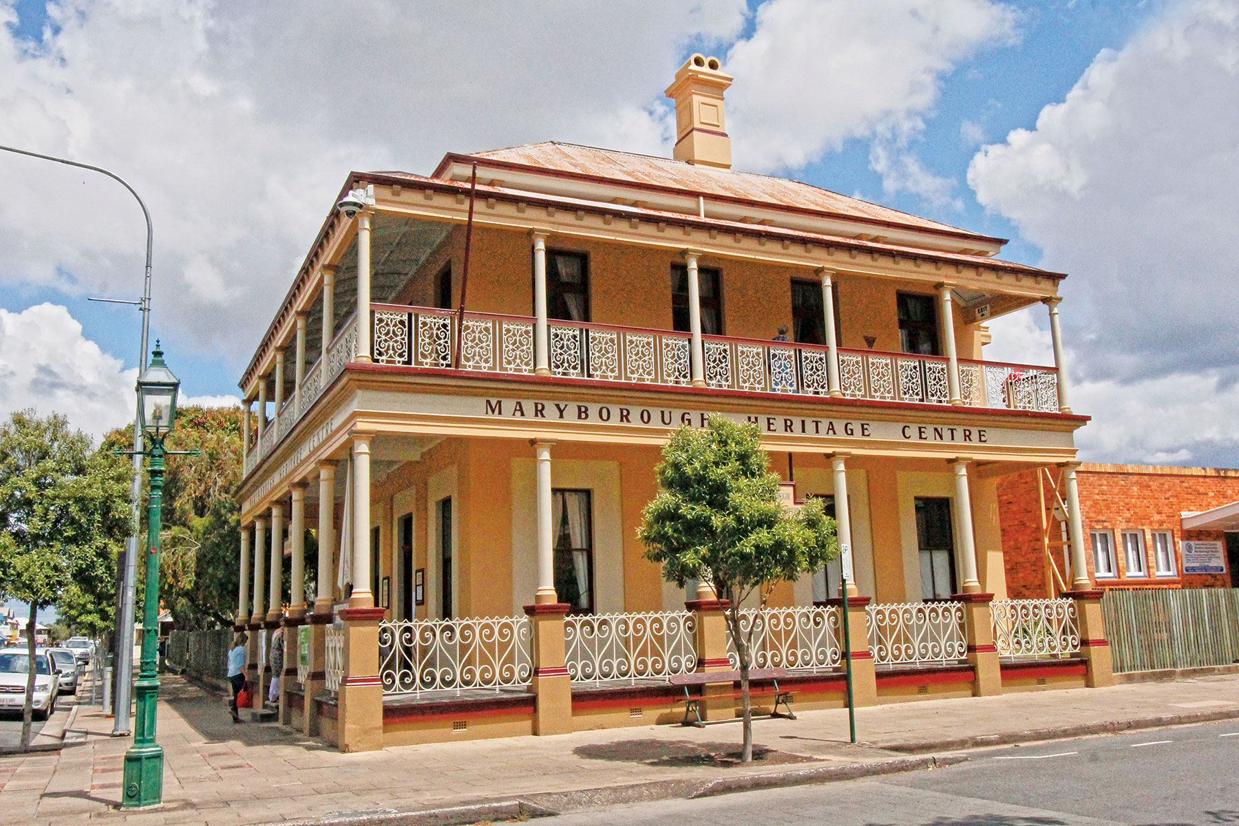 The Maryborough Heritage Centre, formerly the Bank of New South Wales, circa 1878
The heart of Maryborough's heritage precinct is bounded by Lennox, Kent, Wharf and Sussex Streets, together with Queens Park, which adjoins Sussex Street. The park (1873) is a botanic garden, with an ornate bandstand (1890), lily pond and war memorial (1921). In Wharf Street there are a very early shop (c1860) at number 134, the former Government Bond Store (1863), the tin and timber Waterside Workers Hall (c1918), the Criterion Hotel (1878), Gatakers Warehouse (c1873), the Customs House (1868) and Government Offices (1940).
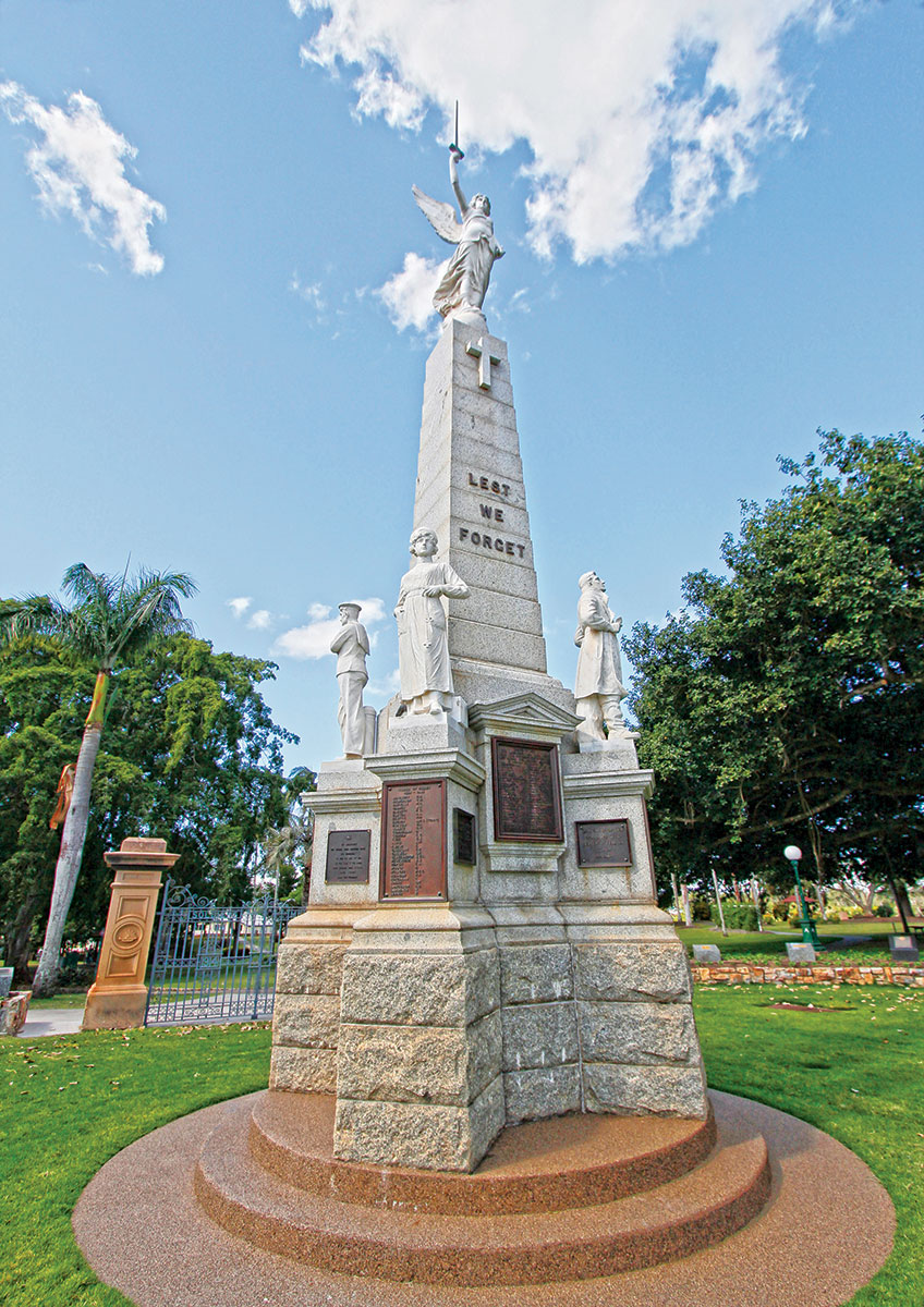 The cenotaph in Queens Park (1922)
Kent Street has nearly as many historical sites, including the Australian Joint Stock Bank (1882) and its residence quarters where Helen Lyndon Goff — otherwise known as P.L. Travers, the author of Mary Poppins — was born, the Central State School (1876), the former Boys' Grammar School (1881), the School of Arts (1888) and the City Hall (1908). The impressive St Mary's Church (1872) and St Paul's Anglican Church and Hall (1871, 1929) are in Adelaide Street. Lennox Street is the address of the railway station complex (1864) and the Brennan and Geraghty Store (1864).
So, the next time you’re driving along the Bruce Highway and see the Maryborough exit sign, do yourself a favour and duck in for a self-guided tour of this grand old lady languishing on the banks of the Mary River.
Fast facts
Getting there
Maryborough is 255km north of Brisbane, just off the Bruce Highway, and 33km southwest of Hervey Bay.
Staying there
Maryborough offers accommodation options to suit all budgets, including hotels, motels, self-contained units, caravan parks with cabins and campsites and bed and breakfasts.
When to visit
The Fraser Coast enjoys a sub-tropical climate with mild winters and warm to hot summers, making Maryborough a year-round destination.
Things to do
Maryborough Military and Colonial Museum (including the JE Brown Warehouse)
106–108 Wharf Street
P: 0419 789 566
Maryborough City Markets
Adelaide and Ellena Streets
Open: Every Thursday 7am–12noon
Gatakers Artspace
311 Kent Street
P: 07 4190 5818
Open: Tuesday– Friday 9.30am–3.30pm; Saturday–Sunday 9.30–2pm
Mary Poppins Festival
Held annually in July
Maryborough Open Gardens
Held annually in August
For more information
Maryborough Visitor Information Centre
Maryborough City Hall
388 Kent St, Maryborough
P: 1800 811 728
THE NEXT STEP
Are you ready to experience the freedom of the open road? Don't wait - Find your dream getaway now!